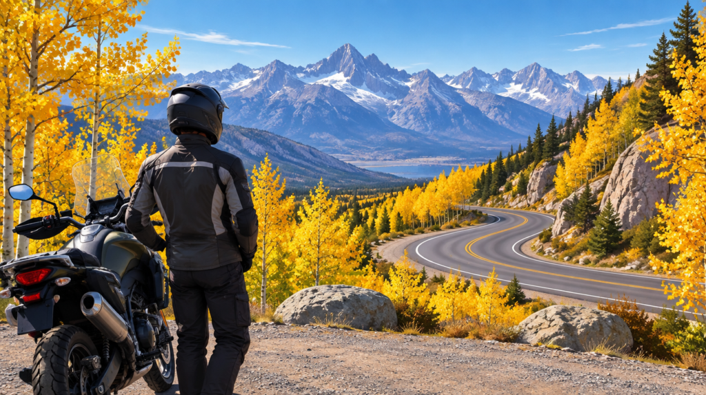
The Eastern Sierra’s aspens can turn a ride into a standout October day. But the same season brings shorter daylight, cold high-elevation mornings, and early storms. The question is not “When do the passes close?” as if there were one reliable date. It is “Do the color, weather, and open-road windows line up for this route today?”
Pick the color, then verify the road
Visit California points travelers toward the Bishop-to-Bridgeport corridor along U.S. 395, including Bishop Creek and the June Lake Loop. That is a color-planning lead, not a live riding clearance. Before committing, check the forecast for the specific elevation and the official road status for every pass and connector.
Yosemite’s current-conditions page listed Tioga Road open as of its October 5 update, while Glacier Point Road was temporarily closed for a separate fire- and smoke-related reason. A condition reported on Monday may not hold on Saturday. Yosemite directs visitors to its road-status phone line for the most current conditions.
For state highways, use Caltrans QuickMap and the highway conditions service before departure and again near the route decision point. A pass that is technically open can still be a poor motorcycle choice if rain, ice, smoke, or low visibility is developing.
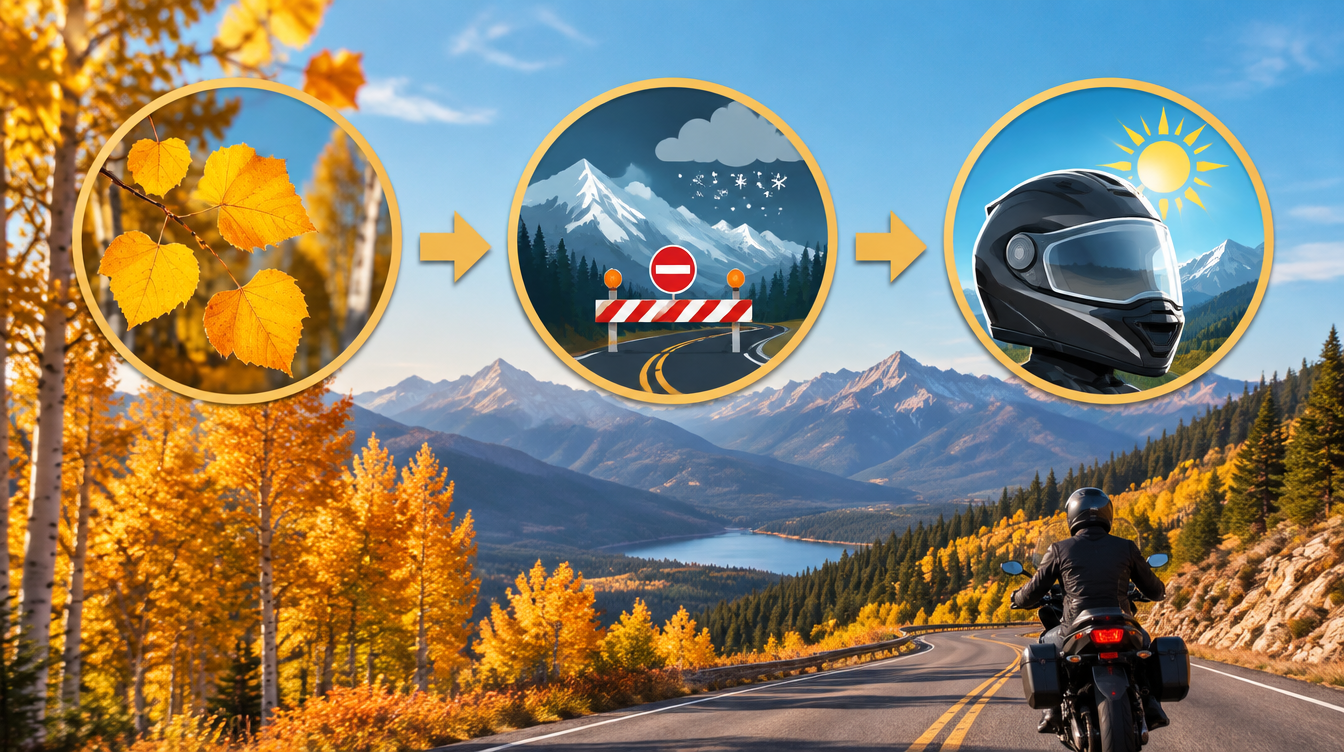
A three-gate decision
- Color: Is there credible current foliage information for the specific canyon or elevation, not just a statewide “peak week”?
- Road: Are all needed roads open, without conditions that block your exit? Check NPS for Yosemite roads and Caltrans for state routes.
- Rider margin: Is the forecast, daylight, and return route reasonable for a motorcycle? If any gate fails, choose a lower-elevation alternative or another day.
From the field
I would aim for dry conditions, watch for gravel, and make it a relaxed ride. There is no need to rush.
This is a timing and decision guide, not a claim to have ridden a route this week. Recheck official conditions immediately before any ride.