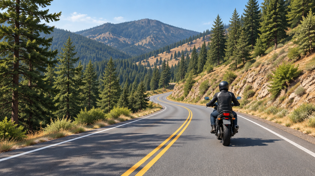
Highway 36 between Red Bluff and Fortuna is often described as one of California’s great winding motorcycle roads. It is also a long, remote crossing that deserves more planning than a catchy “twisty road” sign suggests. This is a researched route guide, not a claim that I have ridden the full route.
The route at a glance
Pashnit’s rider guide and Dairyland’s route overview describe the Red Bluff-to-Fortuna segment as roughly 140 miles. Their suggested moving time is around four hours, but stops, traffic, construction, weather and your pace can make it a much longer day. Treat that figure as a planning estimate, not a schedule to chase.
The appeal is the changing landscape and repeated corners as the road crosses inland hills toward the coast. The “1,800 corners” figure appears in rider lore, but it is not a surveyed road inventory; it is better to plan for a sustained, demanding ride than to count turns.
Before committing to the crossing
- Fuel: Start with a full tank. Do not rely on a small rural stop being open at a particular hour; confirm current fuel options and your bike’s real range before setting out.
- Conditions: Check Caltrans QuickMap for closures, construction and incidents immediately before the ride. A route article cannot confirm today’s road status.
- Weather: Inland heat can give way to cooler or wetter conditions toward the coast. Carry layers and leave daylight margin.
- Road surface: Expect possible gravel, debris, uneven pavement, wildlife and slow vehicles. Keep a pace that leaves time to read each blind corner.
- Connectivity: Save an offline map and let someone know the intended route; do not count on continuous cell service.
A five-minute pre-ride check
- Preview the route and major turns with a map and street-level imagery where available. Treat imagery as a preview, not a current road-condition report.
- Check Caltrans QuickMap immediately before departure for closures, construction and incidents.
- Confirm fuel range, the likely open stops and an offline navigation option.
- Set a pace and turnaround point that leave daylight margin. Watch for cars, debris and unexpected road features; ride the road in front of you, not the map.
Make it an enjoyable ride
Leave enough time to stop, refuel and turn around if conditions deteriorate. If the day is running late or the road is closed, the successful ride is the one you can finish without rushing. Highway 36 rewards attention, not a corner-count challenge.
From the field
On an unfamiliar road, I want to study the route before I ride. I use a map and street-level views where available to get familiar with turns and unusual road features, then keep my pace slow enough to spot what a preview cannot show. I check my GPS for upcoming turns without letting it take my eyes off the road, and I stay alert for cars. Preparation helps, but it is no substitute for riding what is actually in front of me.
For riders weighing this against the site’s shorter Mount Diablo guide, Highway 36 is a different commitment: a remote crossing rather than a local summit loop. Choose it when you can give the road the time and preparation it deserves.
Sources: Pashnit; Dairyland; Caltrans QuickMap.