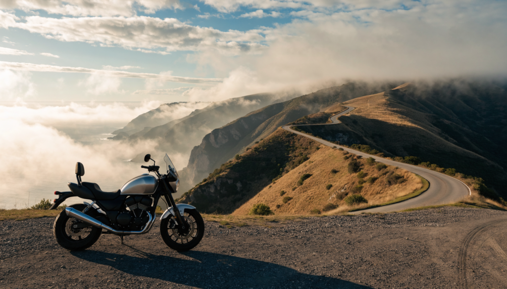
Skyline Boulevard, Highway 9, and the coast south of Pacifica form one of the Bay Area’s most familiar riding networks. Fall can bring clearer skies and lighter tourist traffic, but these roads change quickly with maintenance, fog, debris, and coastal weather.
This is a researched planning guide, not a firsthand ride report. Conditions below were checked against Caltrans on the morning of September 24, 2026. Check again immediately before departure.
Current Caltrans snapshot
As of 7:29 a.m. on September 24:
- Highway 35 / Skyline Boulevard: Caltrans reported no traffic restrictions in the Central California area.
- Highway 9: one-way controlled traffic was reported at various locations from Cascade Avenue to Irwin Way in Brookdale, scheduled through 7:00 a.m. on September 30 because of maintenance.
- Highway 1: Caltrans listed construction controls near Rocky Creek Bridge south of Monterey and in Marin County, but no restriction for the Pacifica-to-Half Moon Bay segment in its statewide report.
These are snapshots, not guarantees. Use Caltrans QuickMap and the individual highway-condition pages before riding.
\n
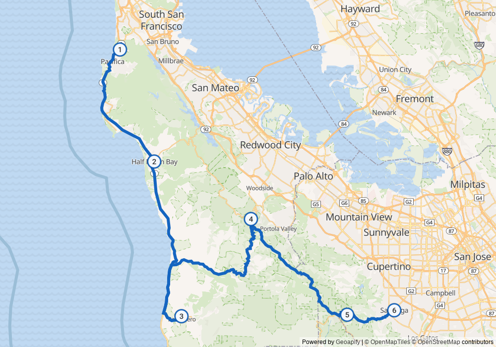
Skyline Boulevard and Highway 9
Skyline delivers long ridge sections, changing visibility, and frequent transitions between sun and shade. Highway 9 adds tighter corners, elevation changes, and maintenance activity around Brookdale.
The practical risks are familiar but easy to underestimate:
- damp pavement and leaf debris in shaded corners;
- cyclists and slow traffic near popular trailheads;
- decreasing-radius turns and limited runoff room;
- fog that can reduce visibility quickly; and
- maintenance controls that create stopped traffic beyond a blind bend.
Ride the road you can see, not the line you remember. A familiar route can still change overnight.
Highway 1 from Pacifica toward Half Moon Bay
The coastal segment is the scenic connector, but conditions can change rapidly because of weather, erosion, collisions, and construction. Caltrans showed no listed restriction for this specific segment at the time of this check, but the absence of a listed restriction is not a promise that every lane and turnout will remain clear.
Expect wind exposure, fog, traffic entering from beaches and overlooks, and occasional sand or gravel near shoulders. If visibility deteriorates, slowing down—or turning inland—is better judgment than completing a planned route at any cost.
A practical loop-planning approach
Rather than treating these roads as one fixed itinerary, build a route with decision points:
- Check Highway 35, Highway 9, and Highway 1 separately.
- Review QuickMap for incidents and lane controls.
- Check coastal and ridge weather, not just the forecast at home.
- Choose an inland fallback before leaving.
- Reassess at major junctions instead of assuming the entire loop is unchanged.
This makes the ride easier to shorten without improvising under pressure.
The five-minute pre-ride check
- Highway 35 conditions
- Highway 9 conditions
- Highway 1 conditions
- Caltrans QuickMap
- Current ridge and coast weather
Caltrans also provides recorded highway information at 1-800-427-7623.
From the field
\n
I’ve driven all. Highway 9 can be a bit more scary as many sports car and sports bike out there. Stay slow, enjoy the scenery, restaurants, etc. If you want to go fast, go to the track. Don’t use these road as a track and pay attention of corners and look far to anticipate things that might happen. Watch your speed, watch your surroundings.
\n
The bottom line
Skyline, Highway 9, and Highway 1 can make an excellent fall ride, but the responsible version starts with current conditions and a fallback route. On September 24, Skyline showed no listed restriction, Highway 9 had controlled traffic around Brookdale, and Highway 1 showed no listed restriction on the Pacifica-to-Half Moon Bay segment. Check again before you ride.
Sources: Caltrans Highway 35 conditions; Caltrans Highway 9 conditions; Caltrans Highway 1 conditions; Caltrans QuickMap. Conditions checked September 24, 2026 at 7:29 a.m. PDT.