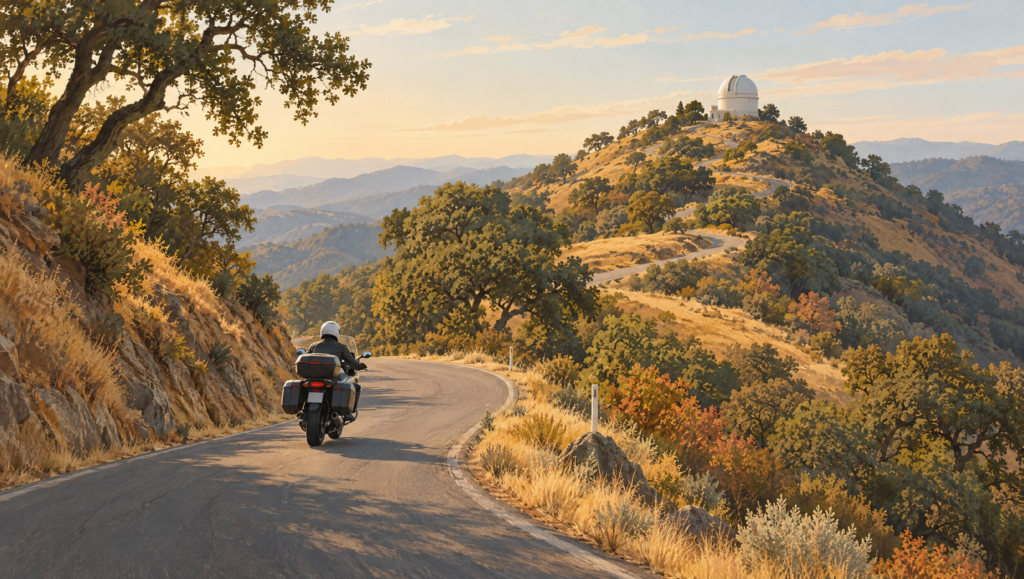
Mount Hamilton Road climbs from San Jose to Lick Observatory through tight switchbacks, blind corners, changing pavement, and long stretches without fuel or automotive services. Continue east and the road becomes San Antonio Valley Road before connecting with Del Puerto Canyon toward Patterson.
It is often called the Mount Hamilton Loop, but the scenic mountain section is not a closed loop by itself. Riders still need to plan a return from the Central Valley. That detail matters when calculating fuel, daylight, heat, and total distance.
This is a researched route plan, not a firsthand ride report.
Why this route is demanding
The summit is roughly 4,200 feet above sea level and more than 20 miles from downtown San Jose. The western climb is technical rather than fast: narrow pavement, frequent direction changes, limited sight lines, cyclists, wildlife, and occasional debris all reward patience.
The eastern side is more remote. Services become sparse, temperatures can differ sharply from the South Bay, and phone coverage should never be assumed. Lick Observatory warns that there is no gasoline or automotive service at Mount Hamilton or along the road outside San Jose.
That makes the basic rule simple: begin with a full tank and do not treat the observatory as a service stop.
A practical route structure
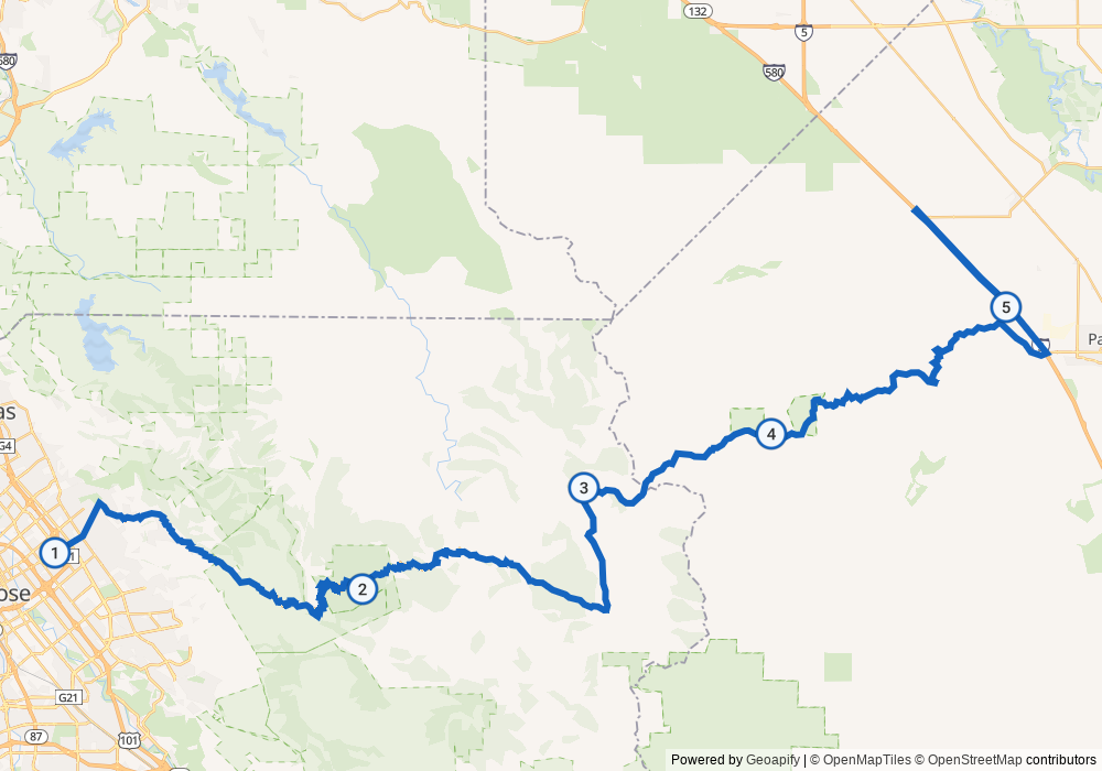
1. San Jose to Lick Observatory
Start from the east side of San Jose and climb CA-130/Mount Hamilton Road. This is the section most riders associate with the route’s switchbacks. Ride at a pace that leaves room for oncoming traffic crossing the center line, bicycles, gravel, and decreasing-radius corners.
2. Lick Observatory to San Antonio Valley
Beyond the summit, CA-130 descends through a more isolated landscape. Confirm current access and operating conditions before leaving. Winter weather can close the road, while summer and early-fall heat can make the eastern side physically demanding.
3. San Antonio Valley Road and Del Puerto Canyon
Continue toward Del Puerto Canyon Road for the descent to Patterson. Do not rely on old route guides that recommend the former Junction Bar & Grill; it has been reported closed. Carry water and plan your next confirmed fuel stop before entering the remote section.
4. Define the return
From Patterson, a rider can return by freeway or build a longer back-road itinerary. That return leg changes the day substantially, so calculate the entire route rather than treating the mountain crossing alone as a loop.
Before leaving
- Fill the tank in San Jose.
- Check Caltrans and county road conditions the same morning.
- Confirm Lick Observatory visitor access separately from road access.
- Download an offline map, while treating it as planning support rather than live road-condition evidence.
- Carry water, a tire-repair kit, and an emergency layer.
- Leave enough daylight for a slower-than-expected descent.
- Turn around if weather, fatigue, visibility, or road conditions stop feeling manageable.
From the field
I have not ridden Mount Hamilton Road or Del Puerto Canyon yet, but completing this route is one of my riding goals. This is a researched plan, not a firsthand ride report.
Who this ride is for
This route makes sense for riders who are comfortable with tight mountain corners, variable pavement, long gaps between services, and conservative pacing. It is not the place to chase speed.
The reward is a rare Bay Area combination: a technical climb, a major observatory, high-country scenery, and a remote canyon crossing within reach of San Jose. The safest way to enjoy it is to plan the full day, respect the road, and leave margin for conditions you did not expect.
Sources
- Lick Observatory public visitor information
- University of California Observatories directions
- Motorcycle Roads: Mount Hamilton route overview
Route map: provider-calculated planning route, not a recorded ride or live-navigation guarantee. Powered by Geoapify; map data © OpenStreetMap contributors and © OpenMapTiles.