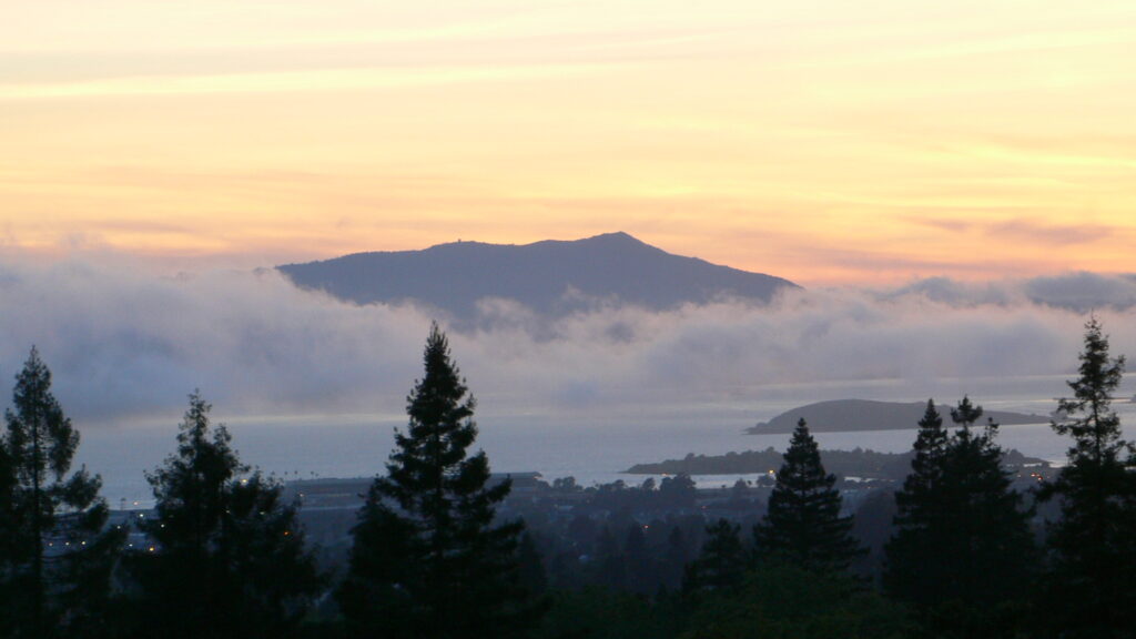
The route
Mount Tamalpais — Marin County’s highest peak at 2,574 feet — is one of the closest genuinely mountainous rides to San Francisco, and the climb via Panoramic Highway to Pantoll Road is the most accessible of the routes to the top. From the Golden Gate Bridge, head north on Highway 101, then pick up Highway 1/Panoramic Highway and follow it up through Mill Valley into the ridgeline switchbacks. At the Y junction near the top, signs point toward Mount Tamalpais State Park — stay right and you’re on Pantoll Road for the final approach. (Pashnit route guide, PJAMM Cycling route detail)
What makes this ride distinct
This isn’t a long rural getaway like some of the other Northern California routes — it’s a tight, technical ridgeline run you can do in an afternoon, with switchbacks and elevation change packed into a short distance. The character is genuinely different from a longer highway cruise: narrow two-lane road, blind curves, and a payoff of sweeping bay views near the top that most visitors only ever see from a car pulled over at a vista point.
Access and practical notes
- Mount Tamalpais State Park charges a day-use fee at staffed entrances; credit cards are accepted during business hours at Pantoll, while East Peak and Bootjack use cash/check self-registration. Check current fee and hours before you go, since park operations can change seasonally. (California State Parks, Mount Tamalpais)
- Traffic and shared-road use: Panoramic Highway and the upper mountain roads see significant cyclist and hiker traffic, especially on weekends. Riding on a weekday morning or outside peak hours makes for a noticeably more relaxed experience and a safer one, given how many cyclists climb this same stretch.
- Fuel and stops: There’s no gas directly on the mountain route itself — fuel up before you head into Mill Valley. The West Point Inn, reachable by trail rather than by road, is a nice off-bike stop if you want to extend the visit, though it’s not accessible on the motorcycle itself.
- Trail/road changes: California State Parks has an active project to expand separate trail access for cyclists on parts of the mountain, which may shift how shared the roads feel over time — a reasonable thing to check immediately before a visit if you’re planning around traffic.
From the field
I love Mt. Tam — it’s usually a great ride. The one thing to plan around is traffic. Lane splitting isn’t allowed on those roads, so if you hit a bad stretch, you’re stuck sitting with a line of cars. Avoid public holidays and the picture-perfect weekend days, since that’s exactly when everyone heads to Stinson Beach and the road backs up. The last thing you want is to be sitting on your bike on a steep, sloped section going nowhere.